two year trip
| Distance cycled | 15.6 miles / 25.1 km |
| Cumulative distance cycled | 334.8 miles / 539 km |
| Islands visited (daily total) | Lewis |
| Total islands visited | 10+1 of 10 |
| Average speed | 11.1 mph / 17.9 kmph |
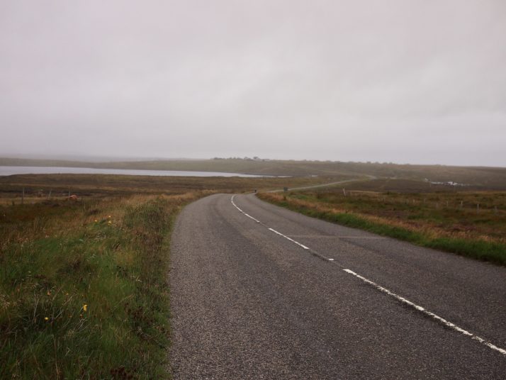
| Weather conditions | Drizzly rain |
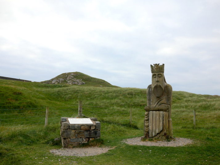
In the Museum Nan Eilean we’d seen a photo and some drawings of a stone structure that we didn’t recognise, and so with our ferry leaving Stornoway early afternoon we had some time (if not the weather) for a final wee jaunt in the morning to make the most of our last day in the Outer Hebrides.
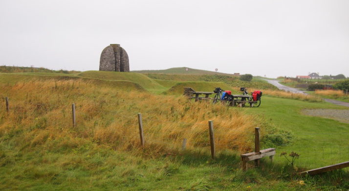
Memorial Cairn to the Grias & Coll Raiders, March 1919
The plaque nearby reads:
This memorial commemorates the events following the First World War, then returning servicemen took the law into their own hands and claimed the land that the government had promised them.
It is built at the place of confrontation between the crofters of the area and Lord Leverhulme, the owner of Lewis and Harris at that time.
Conflict arose when Leverhulme bought Lewis and Harris in 1918. He planned to industrialise Lewis and opposed the Board of Agriculture’s scheme to divide some of the farms into crofts for landless families.
In March 1919, some of the biggest land raids took place at the farms of Upper Coil and Gress. Land raiding continued throughout Lewis until 1921, when a disillusioned Leverhulme gave up his industrial projects for good. As a result, many people without work emigrated to Canada.
The government finally kept their promise to meet the demand crofts, and the people won the right to the land.
Before he left the island in 1923, Lord Leverhulme gifted the parish of Stornoway to the people, it is now run on their behalf by the Stornoway Trust.
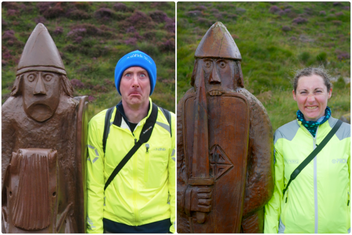
While we were researching its location, we found that these memorial cairns are dotted around Lewis so we were surprised we hadn’t come across them. Then we found they’re of various different designs and we had seen one on the route – the one for the Pairc Cairn Deer Raiders.
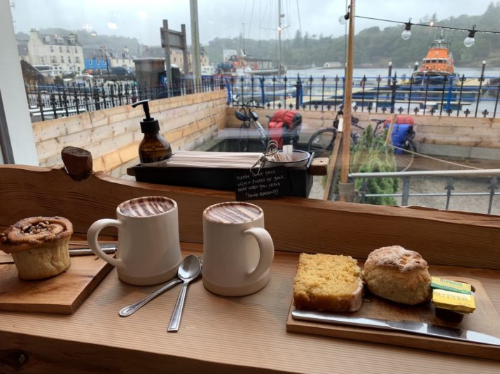
Sheltering from the weather with a coffee and cake in Stornoway while we wait for our ferry
While waiting for our ferry we found out that the strike action by ScotRail was extended and as a result our train from Inverness to Edinburgh had been cancelled 2 days prior. Their call centre were very helpful – we were booked to travel on a Sunday, so we could use our ticket for any train on a day either side, and while there were seats for us, there were no bicycle reservations for the Saturday left. LNER have one train which was also fully bicycle-reserved.
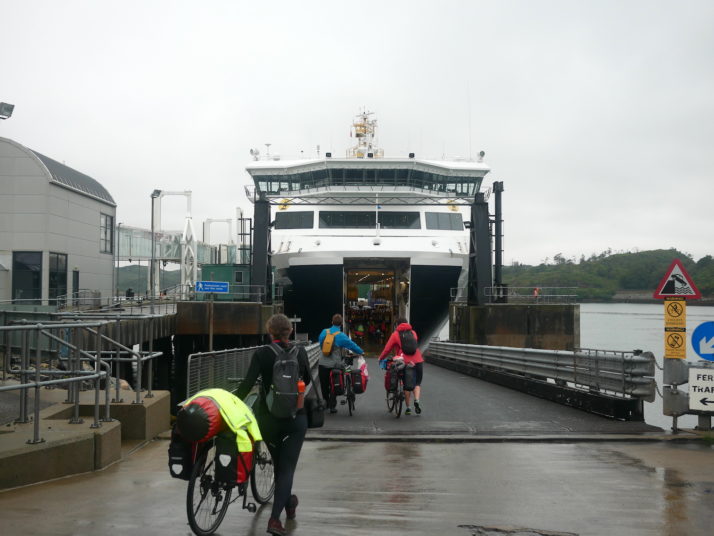
Boarding the ferry from Stornoway and the end of our time on the Outer Hebrides.. for now :o)
We’d pre-booked a specialist bike transfer from Ullapool to Inverness with the excellent (in service and in name) Ticket to Ride, and spent the time thinking of ideas for getting us and our bikes home: car hire – ~£200 but none available; van hire – same; turn up at the train station and hope for a bicycle cancellation; coach – ~£50 a last resort and we’d have to pack up the bikes into boxes or bubblewrap; courier the bikes – ~£30 each packed up again, and we would have to impose on our lovely AirBnB hosts in Inverness for storage…
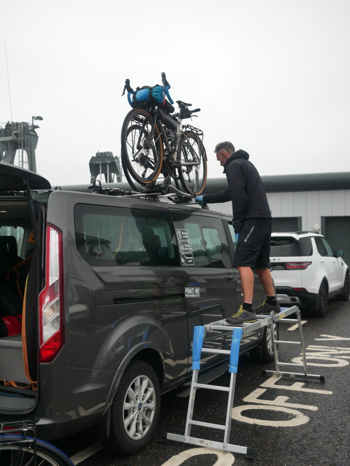
The excellent Ticket to Ride collecting us and two fellow Hebridean Way cyclists from Ullapool – hi Charlie and Alice!
Anyway, cutting a long story short, we decided that we’d rather have the full Saturday to explore Inverness, and ended up booking a taxi-friend of a taxi-friend of Ticket to Ride to take us and the bikes to Edinburgh to meet our onward connection home.
That first night we had a lovely evening at the Black Isle Brewery bar with Charlie and Alice drinking beer, eating pizza and talking cycles and holidays! As is so often the case, we came away from one trip with more ideas & recommendations for future ones!
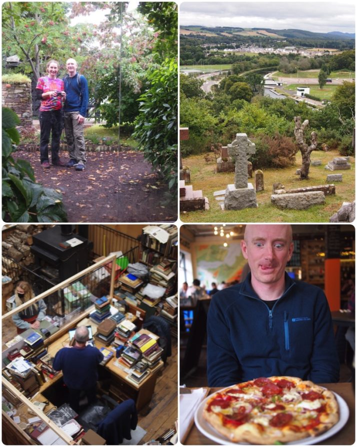
Our day in Inverness, clockwise from top-left: Inverness Botanical Gardens; the view from the top of Tomnahurich Cemetery; real ales and wood-fired pizza (heaven!) at the Black Isle Brewery Bar – so good we went twice; Leakey’s book shop (also heaven!)