
 two year trip
The southern-most destination of our Armenian road trip was the once prosperous industrial town of Goris, still quite bustling but very much past its heyday. The long main streets with their two-storey houses with large wooden balconies stretching out over the pavement contrast with the functional concrete Soviet-era municipal buildings and residential apartment blocks. Everything has a partially abandoned shabbiness to it that’s quite endearing.
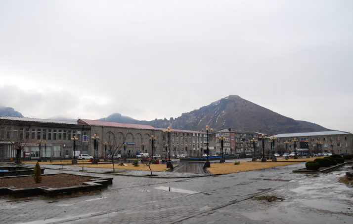
Goris’ central town square is quite grand. It’d be nice in the summer with all the fountains working
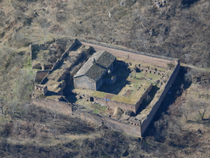
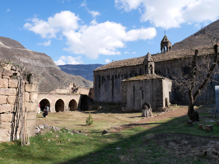
Tatev Monastery

Another monastery? We weren’t kidding when we said we thought every other site might be a monastery or church!
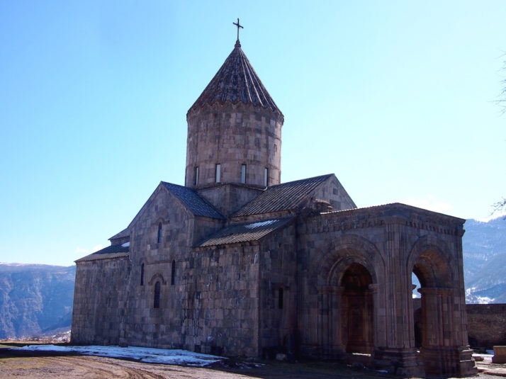
The church of St Paul and St Peter looks impressive and commands an enviable view down the valley
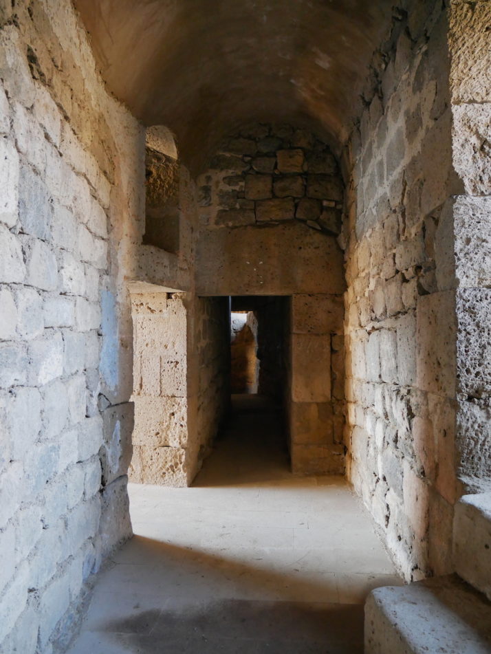
I enjoyed exploring the old monk cells more than Julie did!
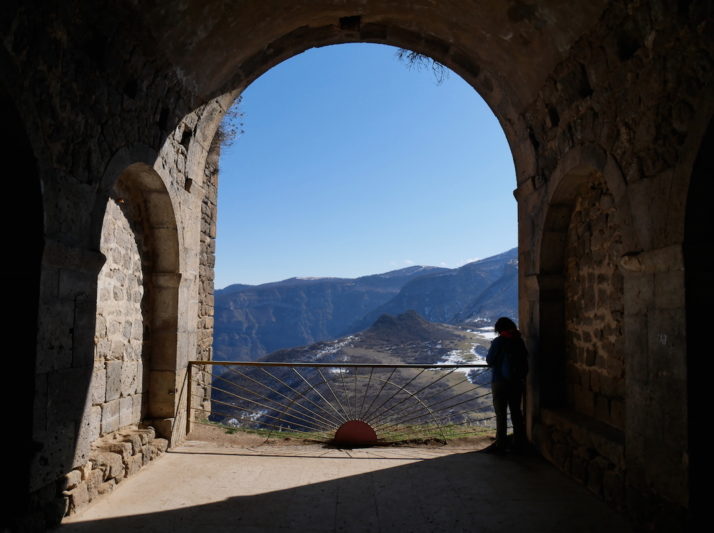
The view from the monk cells down the valley. Apparently there’s a tunnel carved into the hillside to the valley below!
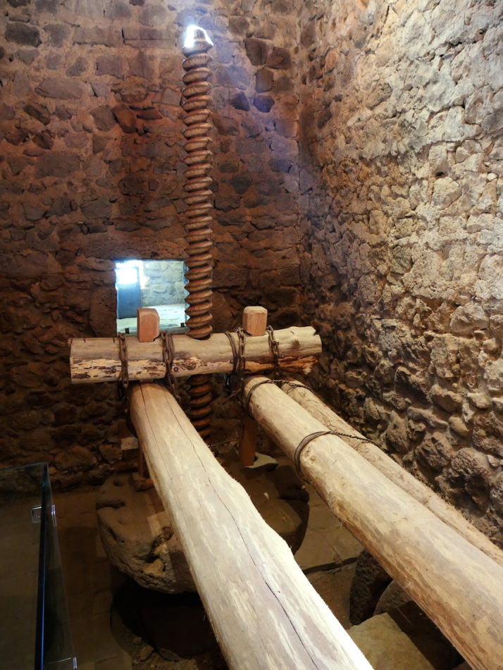
Oil presses were common in monasteries all around Armenia, but Tatev’s has been reconstructed to show how they worked
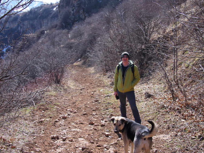
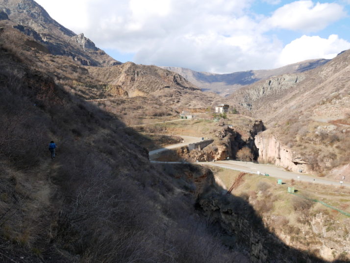
Have pooch, will hike. It’s worth mentioning that the offline maps.me app was very helpful hiking down from Tatev Monastery as there are a few forks in the track and very few markers
Tatevi Mets Anapat
The Tatev Hermitage viewed from the cable car
Inside the Tatev Hermitage, complete with a hermit! We offered him a biscuit but he politely declined
Devil’s Bridge
The Devil’s Bridge, also known as Satan’s Bridge, is a naturally created, 50m wide bridge spanning the river at the bottom of the valley
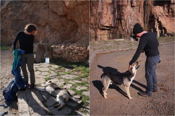
Reunited! Grigor finds us at Devil’s Bridge
By now it was getting on for 4pm and we were both getting a little anxious about making it back in time to retrieve the hire car. We had 2 hours to hike 6 miles (9km) up the switchback valley road which was doable, but it would be close! After about 3 quarters of an hour we spotted some cars going our way and we were able to flag one of them down. As we set off with the 2 reserved Armenians in the front of their luxurious 4×4 we realised how far 6 miles is and were very thankful they had stopped for us!
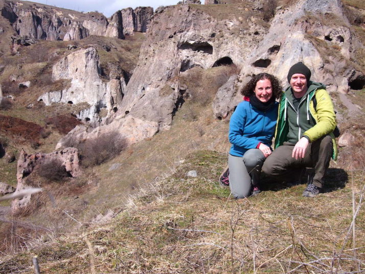
Old Khndzoresk cave settlement
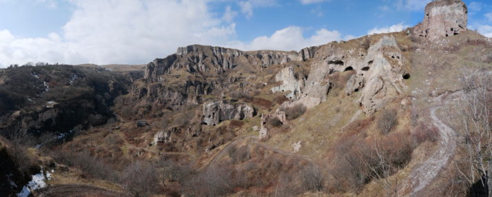
The old cave settlement of Khndzoresk, all of those black dots are dwellings or storehouses
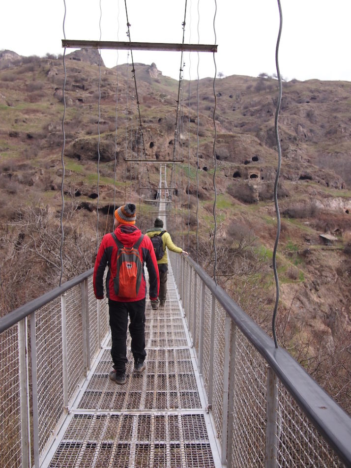
The caves are reached by a 160 metre suspension bridge that was hand-made by the locals to encourage tourism. They’re very proud that no heavy machinery was used!

A lot of the caves were simple one-room dug outs, but some had corridors and doorways to larger rooms deeper into the rock we assumed would have been for storage
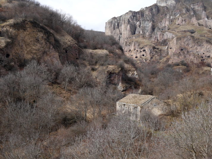
There are a few churches dotted throughout the settlement and they’re a more typical building construction which makes for a nice contrast against the caves
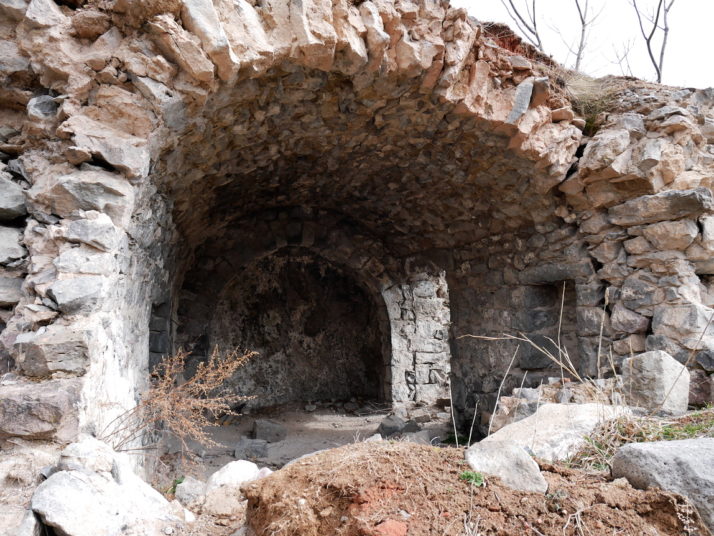
While the higher caves were used for storage and reached by rope ladders, the lower caves were often extended with porches that doubled as yards or gardens for the caves directly above them
We took a little picnic with us and really enjoyed spending the day exploring the caves.