Tag Archives: Hadrian’s Cycleway

Hebridean Way: Day 9 – Lewis (Uig Sands to Shawbost)

Distance cycled 37.9 miles / 61 km
Cumulative distance cycled 239.2 miles / 385.1 km
Islands visited (daily total) Lewis
Total islands visited 10+1 of 10
Average speed 10.7 mph / 17.2 kmph
Weather conditions Overcast with mizzly rain showers

When we were packing, we’d debated whether we should pack our swimwear and in the end decided yes – I’d had visions of lounging in the sun on the white sand beaches. As it turned out, it was a bit chilly for sunbathing but Andrew was adamant that he wanted a swim in the sea and as we were camped right next to the beach, today seemed the best opportunity. I wasn’t brave enough for full immersion and went for a paddle instead though actually the water was a lot warmer than I’d expected and maybe I would have been OK.
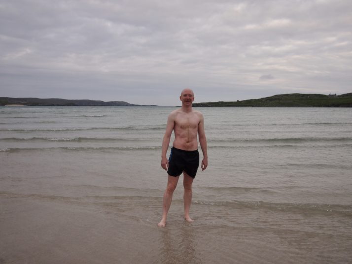
Andrew on Uig Sands after a swim in the sea

Andrew refreshed from his early morning dip in the sea

We set off cycling back towards the Hebridean Way route. For the first 10 miles we had a headwind but eventually the road turned and the going was easier. First stop of the day was at Callanish IV, a small stone circle which we’d seen from the road as we passed by 2 days before. I always find ancient sites like this magical, it blows my mind to think about how long they’ve been there and the people who constructed them.
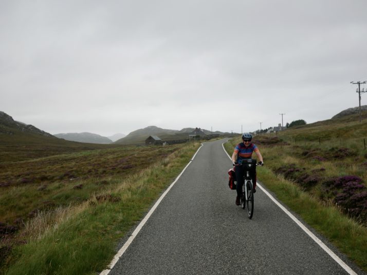
Cycling on the road near Loch Roag Beag

Julie battling the headwind on the road near Loch Roag Beag
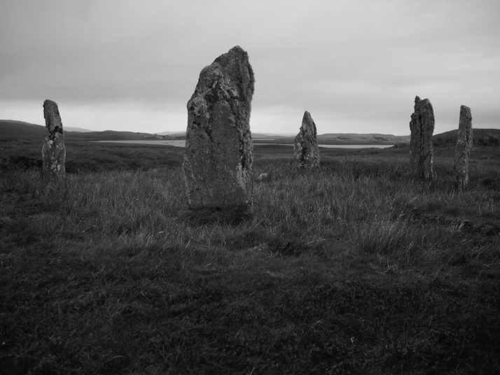
Callanish IV stone circle

Callanish IV: there are more than 15 other sites with stone circles or standing stones in the area surrounding the Callanish Standing Stones

From there it was only a few miles to the famous stone circle at Callanish known simply as the Callanish Standing Stones. The weather wasn’t great with intermittent drizzly rain so I’d hoped we might be able to get lunch at the cafe. Unfortunately it’s closed on Mondays so we sheltered under the canopy over their outdoor tables and ate the bread and pate that we’d bought earlier.
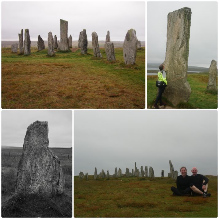
Callanish Standing Stones

Callanish Standing Stones (clockwise from top left): the stone circle; Julie with the central monolith; us with the Stones; many of the stones had wonderful patterns in them

The Stones themselves form a cross shaped pattern around a central stone circle and were erected 5,000 years ago which makes them older than Stonehenge. Unlike at the more famous stone circle you can walk right up to them, and they’re free to visit too. We spent quite a while wandering around, taking photos from different angles and admiring the patterns in the stones and the height of the central monolith (4.75m).

After a quick diversion when we noticed a roadside stall advertising fudge we stopped in at Dun Carloway, the remains of a 2,000 year old broch, a kind of double walled roundhouse.
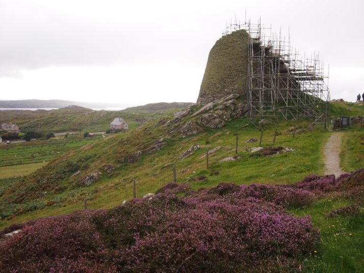
Dun Carloway broch

Unfortunately at the moment the broch is shrouded in scaffolding awaiting work to reseat loose stones

The poor weather had made for a tiring day and we were on the look out for somewhere to eat dinner so that we wouldn’t have to cook for ourselves. After the false promise of a knife & fork symbol on our route map we arrived in Shawbost. I was in favour of giving up and just checking into the campsite but Andrew had found the pin for a cafe on the online map so we detoured up a side road. We almost didn’t find Mollan’s Rainbow Shed and even when we did it didn’t look promising for dinner unless we wanted cake, but Andrew asked the owner, Julie, if she had anything more substantial. “Oh yes, there are homemade curries and pilau rice in the freezer, I can warm them up for you if you like”. Finished off with her chocolate “peat-bog” pudding, and with interesting conversation thrown in as well it was a perfect end to the day.

G2C2C Day 2: Brampton to Whitehaven

Distance cycled 80.4 miles / 129.4 km
Cumulative distance cycled 143.1 miles / 230.3 km
Elevation (daily total) 2096 feet / 640 m
Total cycling time 7h 53 mins
Total time (including breaks) 10h
Average speed 10.2 mph / 16.4 kmph
Weather conditions Started out fine getting steadily more cloudy until 1pm when we had 2 hours of light drizzle. Strong headwind along the coast

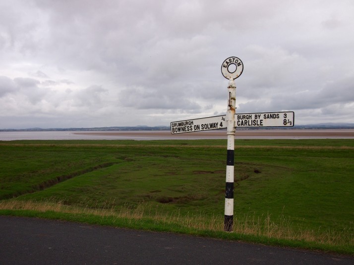
After a short climb out of Brampton we descended along quiet country roads to Carlisle. We felt like we were going pretty fast and the weather was lovely. As we neared the Solway Firth coastal road the clouds darkened and we hit a horrible headwind which stayed with us for the whole day and seriously tired us out. The majority of the day was essentially flat and we felt as if we should have been zooming along but it wasn’t to be.

Beside the Solway FirthThe views along the Solway Firth were the highlight of the day

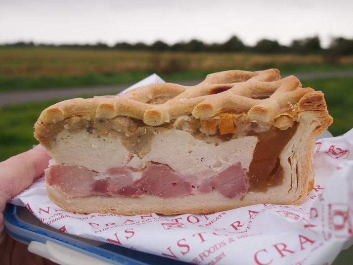
We found the signposting along today’s section to be a bit patchy and had to cross-check our route against what we had loaded into Strava several times. As we were finishing up our lunchtime Ullswater pie we could feel the temperature dropping and the drizzle soon began. It wasn’t as bad as the full afternoon of rain which the forecast had promised but we definitely couldn’t appreciate the scenery as much as if it had been dry and sunny.

Ullswater pieAfter yesterday’s post I know that you’re all dying to know what Ullswater Pie is – here you go, imagine a lattice topped pork pie filled with ham, chicken and stuffing. Yum!

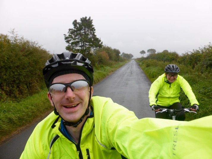
G2C2C Day 2 - Rainy selfieStill smiling despite the rain

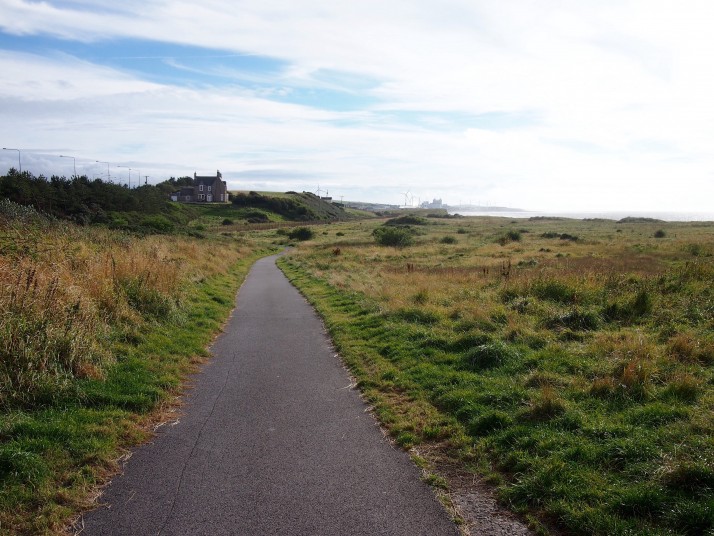
For the final twenty miles towards Whitehaven the path followed the coast through Maryport and Workington, the sun came out for a while which improved our mood but didn’t chase away the headwind. As we rounded the corner before arriving in Whitehaven, we thought we were going to have to climb the steep road onto the clifftop, but fortunately the path peeled off beside the railway line along the base of the cliffs, a dramatic end to the day.

Hadrian's Cycleway between Maryport and WorkingtonA bit of sunshine on the coastal path between Maryport and Workington

No cycling tomorrow, we’re going to have a good long sleep, a full English breakfast and a day of lazing around. There may or may not be a blog post depending on how we feel.

G2C2C Day 1: Gateshead to Brampton

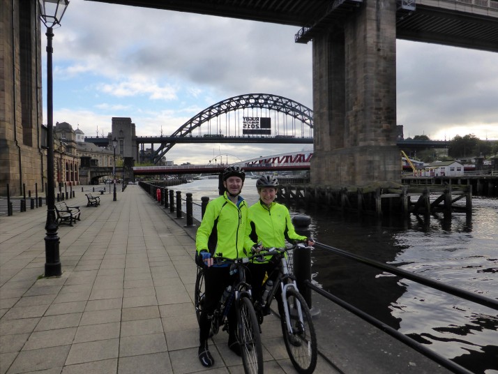
G2C2C: Day 1 - The StartOn the Quayside in Newcastle, ready to begin Hadrian’s Cycleway

Distance cycled 62.7 miles / 100.9 km
Elevation (total) 3165 feet / 965 m
Total cycling time 6h 10 min
Total time (including breaks) 8h 40 min
Average speed 10.6 mph / 17.1 kmph
Weather conditions Dry and sunny in the morning, overcast from 2pm. A bit of a headwind.

With a light but chilly headwind we set off west on the first day of our 6 day loop from Gateshead-to-Coast-to-Coast (G2C2C). The first 25 or so miles to Hexham are familiar to us as we’ve travelled them several times during training rides, and they’re fairly flat and easy following the River Tyne inland. Knowing the route as we do, we expected to get a fast start but it seemed to take a while for us to get into the cycling groove.

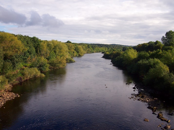
River Tyne from Ovingham BridgeOur route crossed the Tyne five times in the first 30 miles before settling on the northern side

Not long after Hexham, the uphill began with a relentless stretch up to the tiny hamlet of Settlingstones, at the top of which we found the headwind again, stronger than before but it wasn’t important as the views across the Northumberland National Park were stunning, the road was smooth and we met more walkers and cyclists than cars and vans. The long, fast descent (the reward for all that climbing) passed the Roman fort of Vindolanda, which we’ve visited previously, before arriving in Haltwhistle, according to its tourist information ‘The Centre of Britain’.

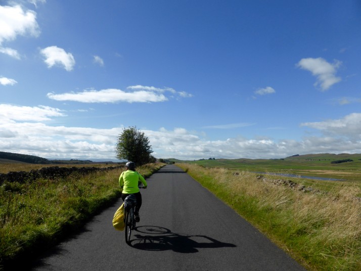
G2C2C: Day 1 - Julie cyclingJulie cycling along the deserted country road through the Northumberland National Park

From Haltwhistle, Hadrian’s Cycleway winds into Cumbria through small villages, past more sections of Hadrian’s Wall and finally descends into Brampton where we’ll spend the night at the home of our friends Matt and Emily. The slow start and persistent headwind meant that we had to really put some effort in to get to Cranstons butchers before their 5pm closing time – we made it with 15 minutes to spare and stocked up on slices of Ullswater pie for tomorrow’s packed lunch!

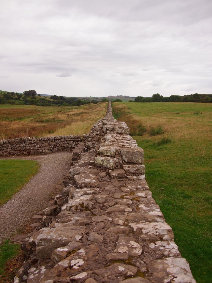
Hadrian's Wall at BirdoswaldHadrian’s Wall at Birdoswald

Tomorrow’s ride will be about 80 miles to Whitehaven – a record distance for us.